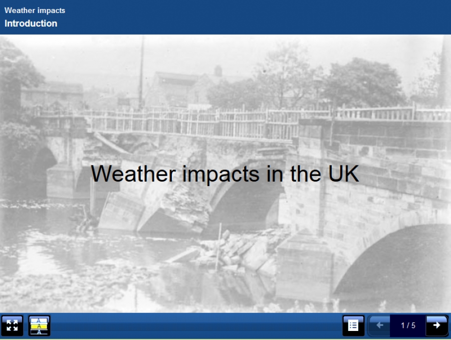
This resource introduces different perspectives on the same event to stimulate class discussion. After that, learners submit their own experiences via an embedded Google Form in the learning object (this can be done from their mobile phones or from laptops). While the learners were engaged in other tasks later in the lesson I added their experiences into an interactive connector page which they then used for homework to do an assignment based on their joint experiences.
 Screenshot of page showing map of uk and interactive hotspots based on learner experiences.
Alistair McNaught and GoogleMaps
Screenshot of page showing map of uk and interactive hotspots based on learner experiences.
Alistair McNaught and GoogleMaps
Xerte object designed for interactive class work rather than individual online use.
Additional Info
- Click here to open LO: Xerte for interactive class delivery
- Used pagetypes: Media (Multiple perspectives), Navigator (embedded page) Connector (Hotspot image) Media (Graphics and sound)
- Flash/html5: HTML5
- License: Creative Commons Attribution - Non Commercial - Share Alike
- User: Experienced
- How this LO add value for my learners?: This stimulated discussion and got them thinking widely about the issues. They then reflected on how these type of events had personally affected them. They were able to examine their experiences in relation to the experiences of other learners in order to reflect on the difference between an extreme event and a human vulnerability.
Published in
Further education
Download attachments:
- Download zip file for importing into your own Xerte set up (5276 Downloads)
